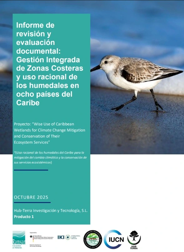
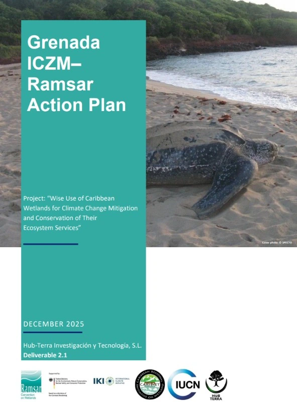
International consultancy focused on developing action plans and working frameworks to integrate the wise use approach of wetlands into coastal and territorial management in the Caribbean.
Hub-Terra provided technical analysis, information review, and methodological support to advance the proposed roadmap with the eight participating countries, including the preparation of a regional training workshop.
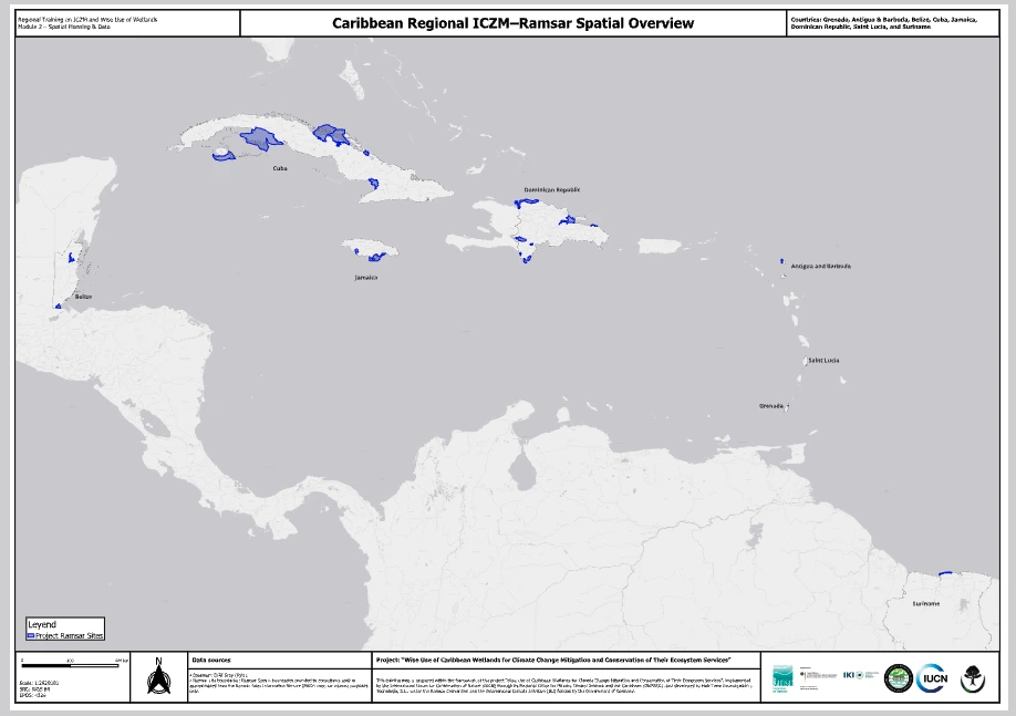
Review of Caribbean Ramsar plans
Consultancy focused on the review of land-use, coastal, marine, hydrological, and sectoral plans linked to Ramsar sites in Caribbean countries.
The objective is to identify gaps, opportunities for improvement, and recommendations to better integrate the wise use approach of wetlands into planning and management instruments.
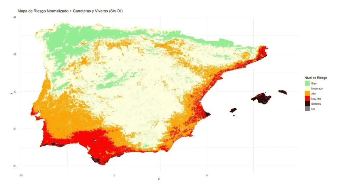
Suitability modelling – BeXyl (Beyond Xylella)
Specialised technical assistance in spatial suitability modelling within the BeXyl project.
Hub-Terra developed spatial analyses and cartographic outputs to support territorial interpretation and decision-making regarding Xylella fastidiosa.
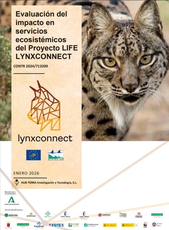
LIFE LYNXCONNECT impact assessment
Final assessment of the impact of the LIFE LYNXCONNECT project on ecosystem services, combining MAES and CICES frameworks with a system of traceable indicators.
Hub-Terra analysed key ecosystems and project evidence, and developed a post-LIFE monitoring proposal to support decision-making and the valuation of results.
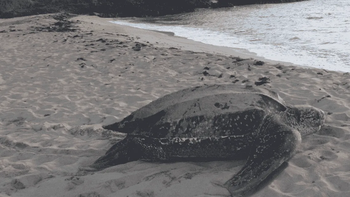
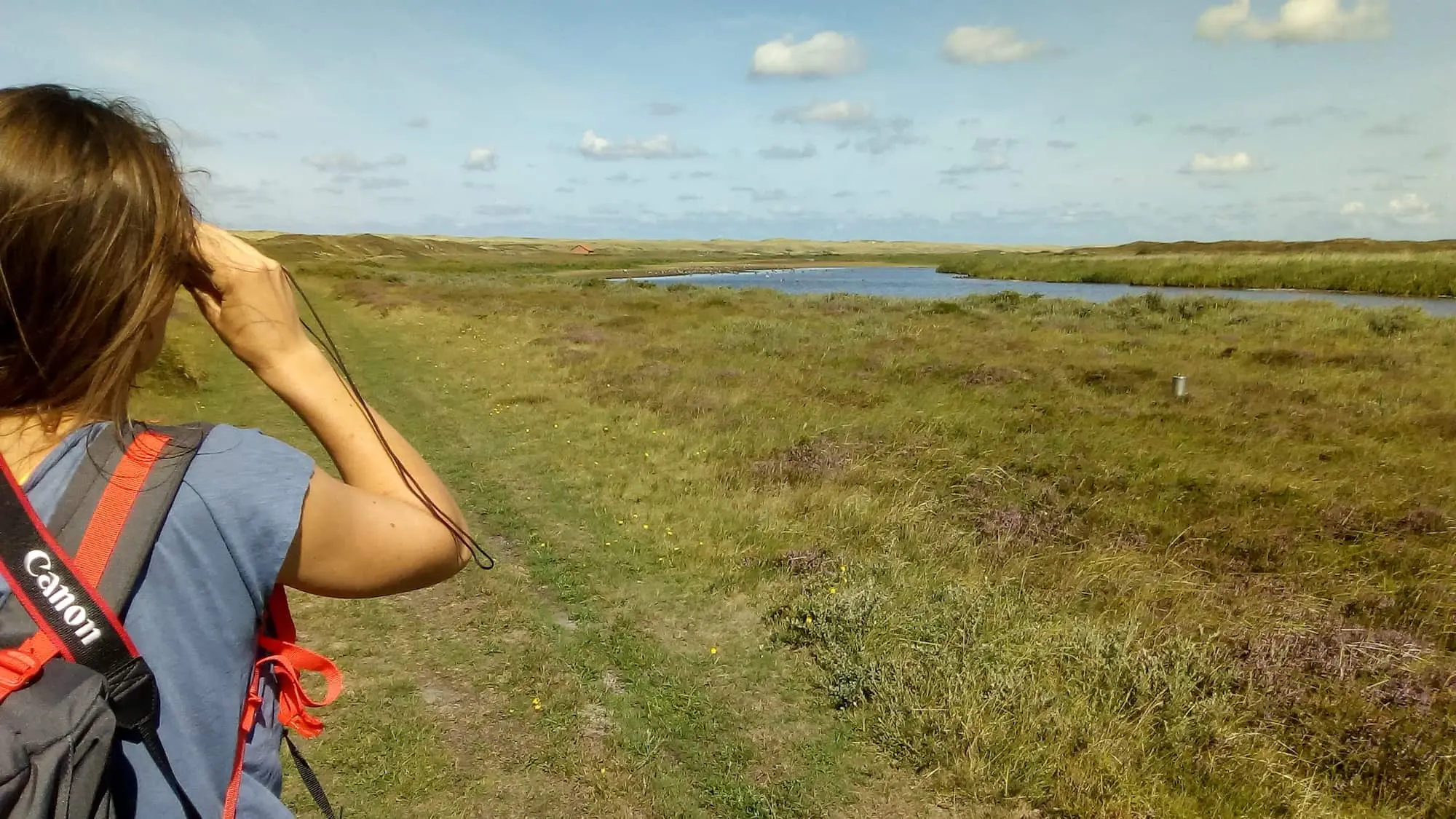
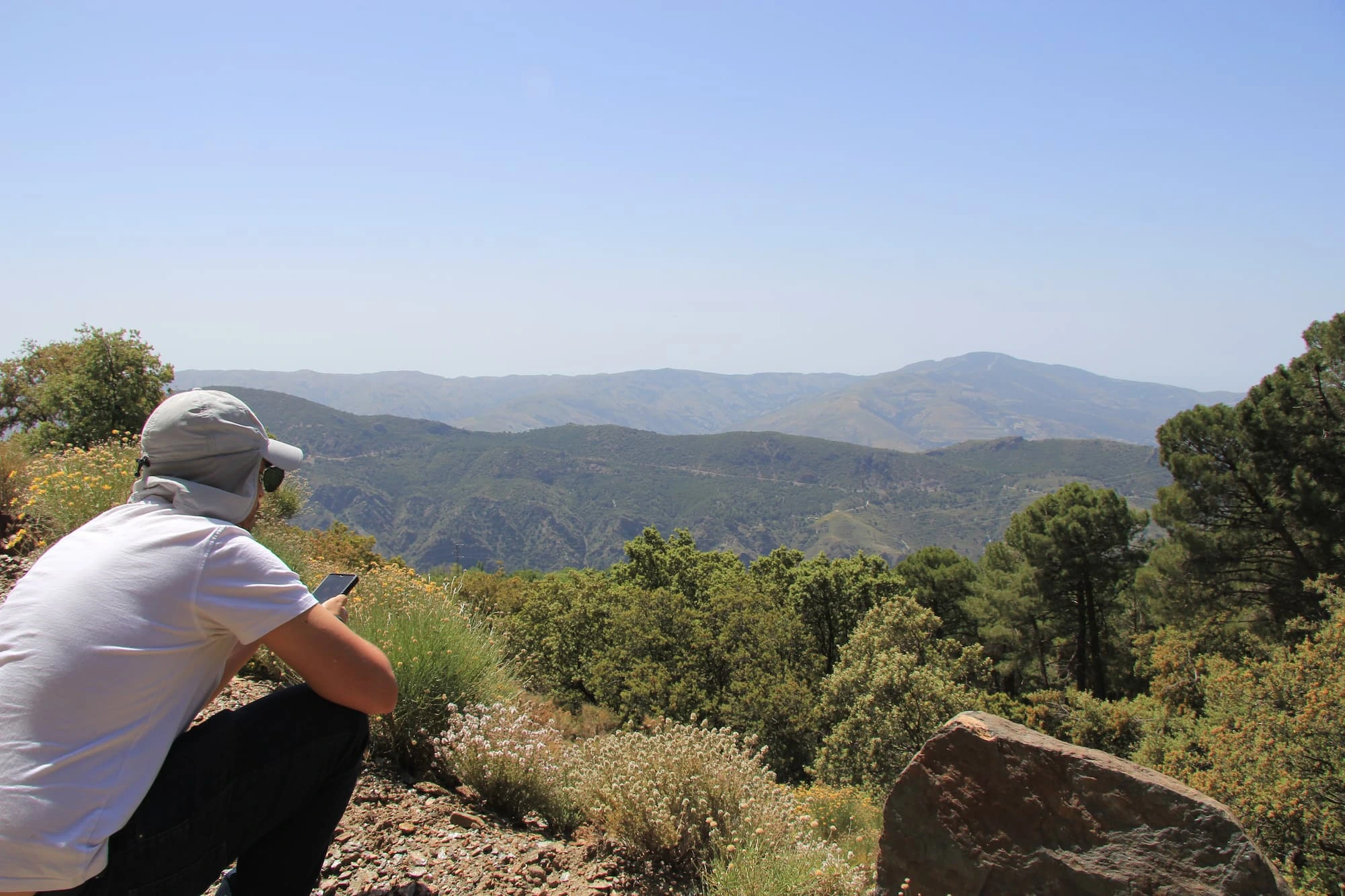
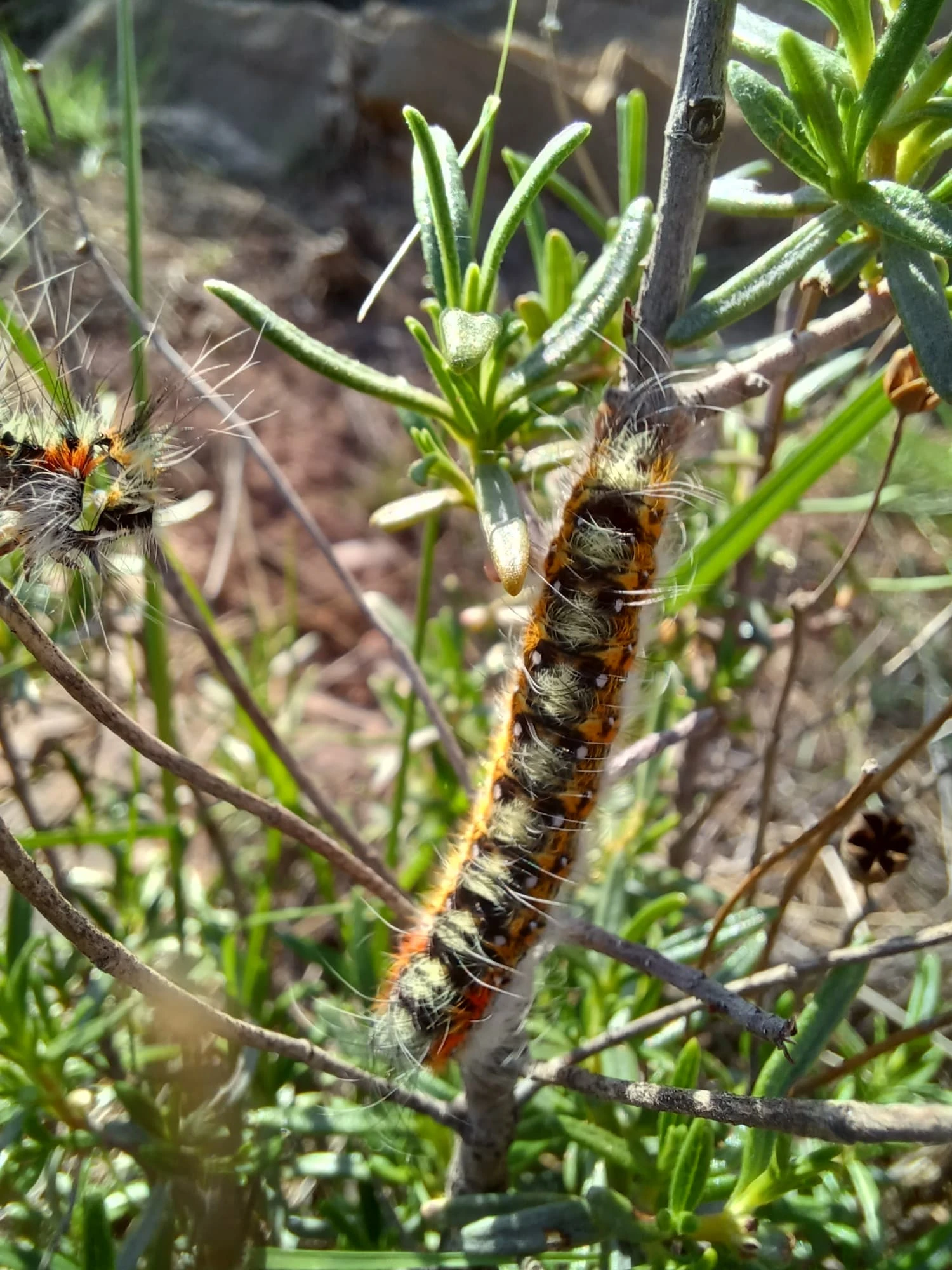
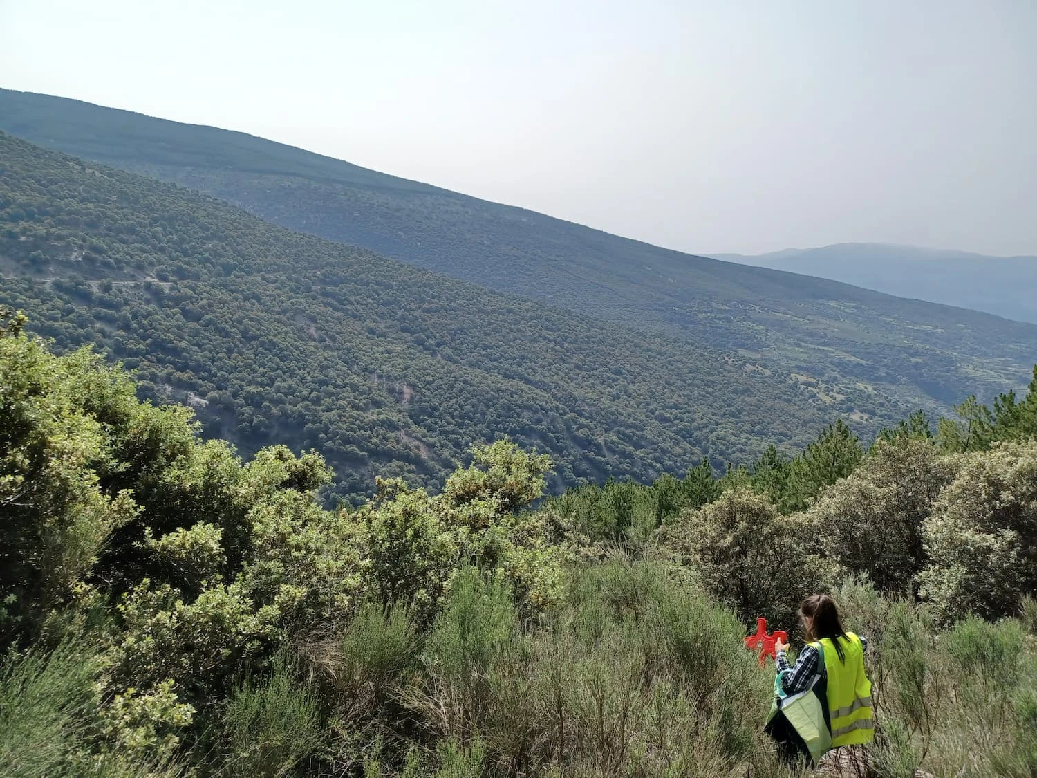
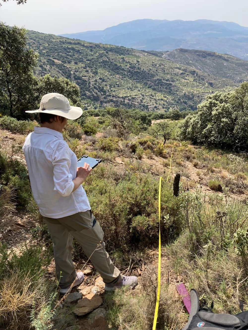
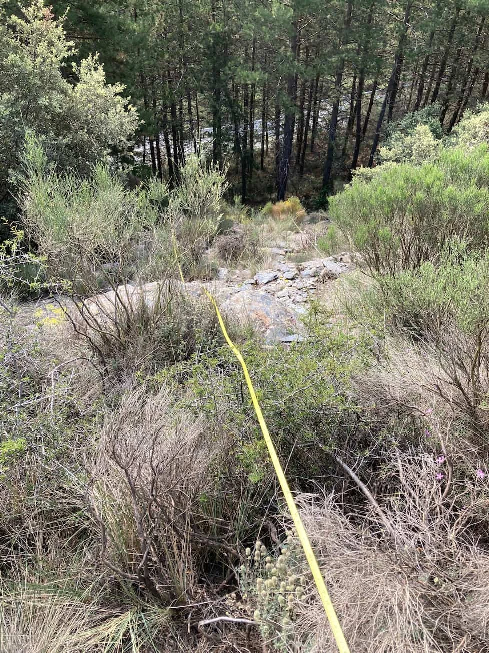
Sierra Nevada biodiversity inventory (MIREN)
Technical work on biodiversity inventory and sampling in Sierra Nevada following the MIREN protocol.
Hub-Terra contributed to the collection of comparable and robust field data, as well as to the analysis of biodiversity patterns and species dynamics across mountain gradients.
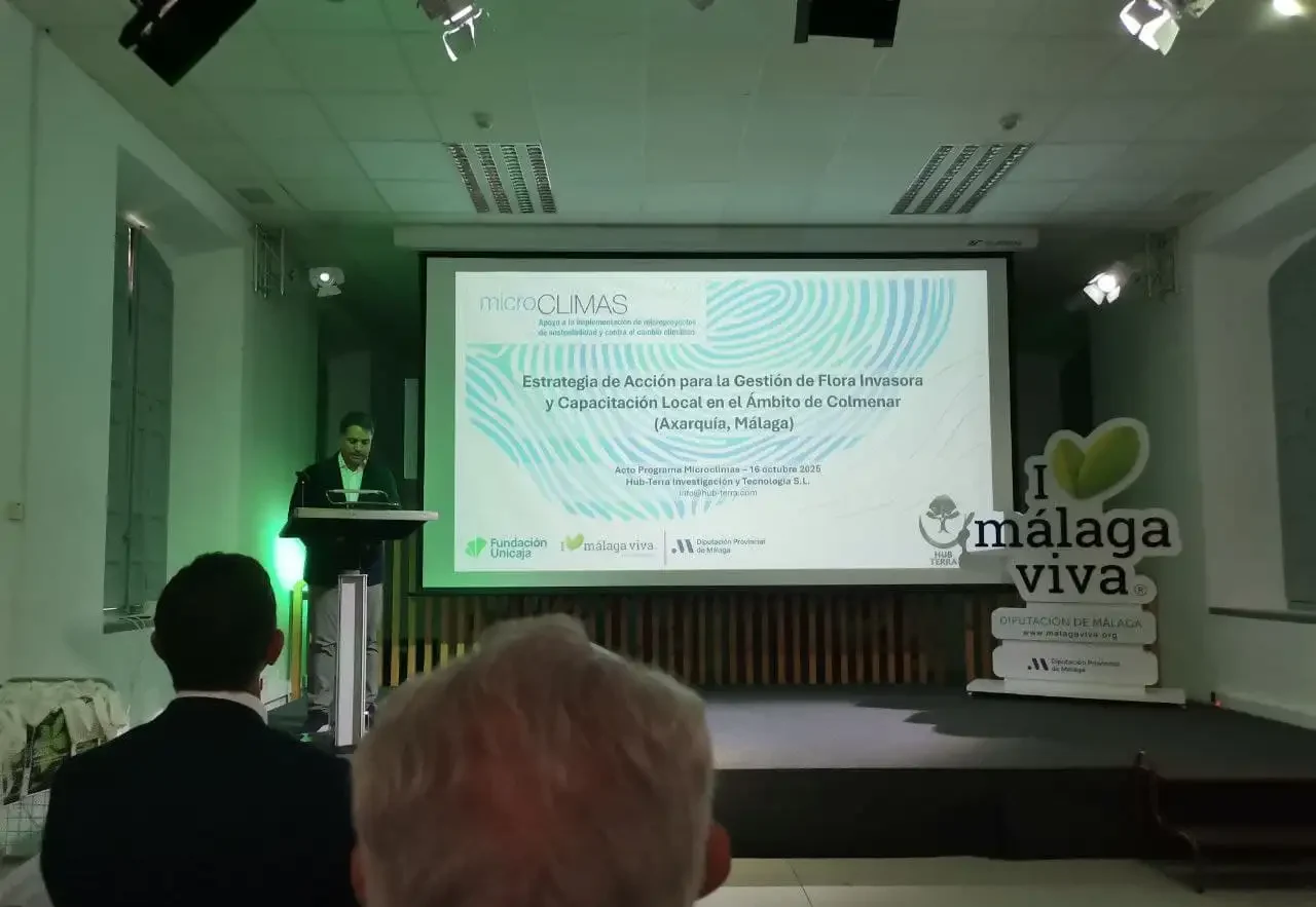
Colmenar invasive flora strategy
Project focused on the diagnosis, mapping, and modelling of invasive exotic flora in Colmenar.
It includes the design of a management protocol, a local training programme, and the use of GIS and remote sensing to prioritise actions, strengthen territorial resilience, and facilitate monitoring.
Invasive wasp management
Pilot system to detect, monitor, and anticipate the spread of invasive wasps, especially Vespa orientalis.
It includes distribution mapping, predictive models, identification of critical areas, and technology transfer to public administrations and territorial stakeholders.
Hub-Terra Lab
Modular in-house geospatial platform for biodiversity and ecosystem services diagnosis, monitoring, and reporting.
It integrates spatial data, AI, risk analysis, and adaptation to regulatory frameworks, providing a scalable solution for public administrations and private clients.