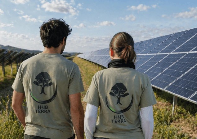
We turn land data into clear, defensible environmental decisions
We combine geospatial analysis, ecological science, and regulatory frameworks to help you understand your land, ensure compliance, and make informed decisions.
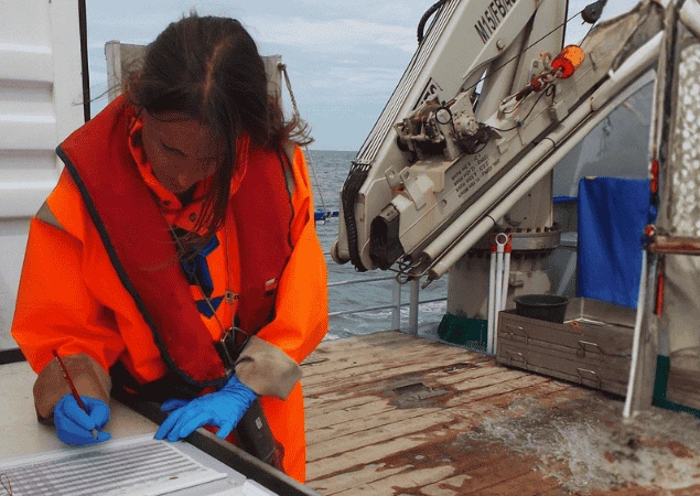
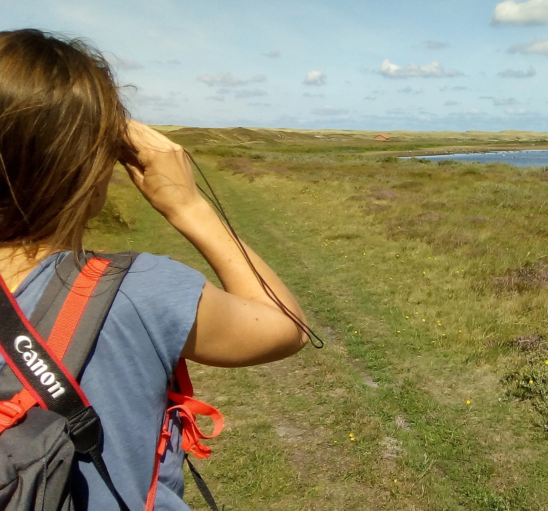
Our services
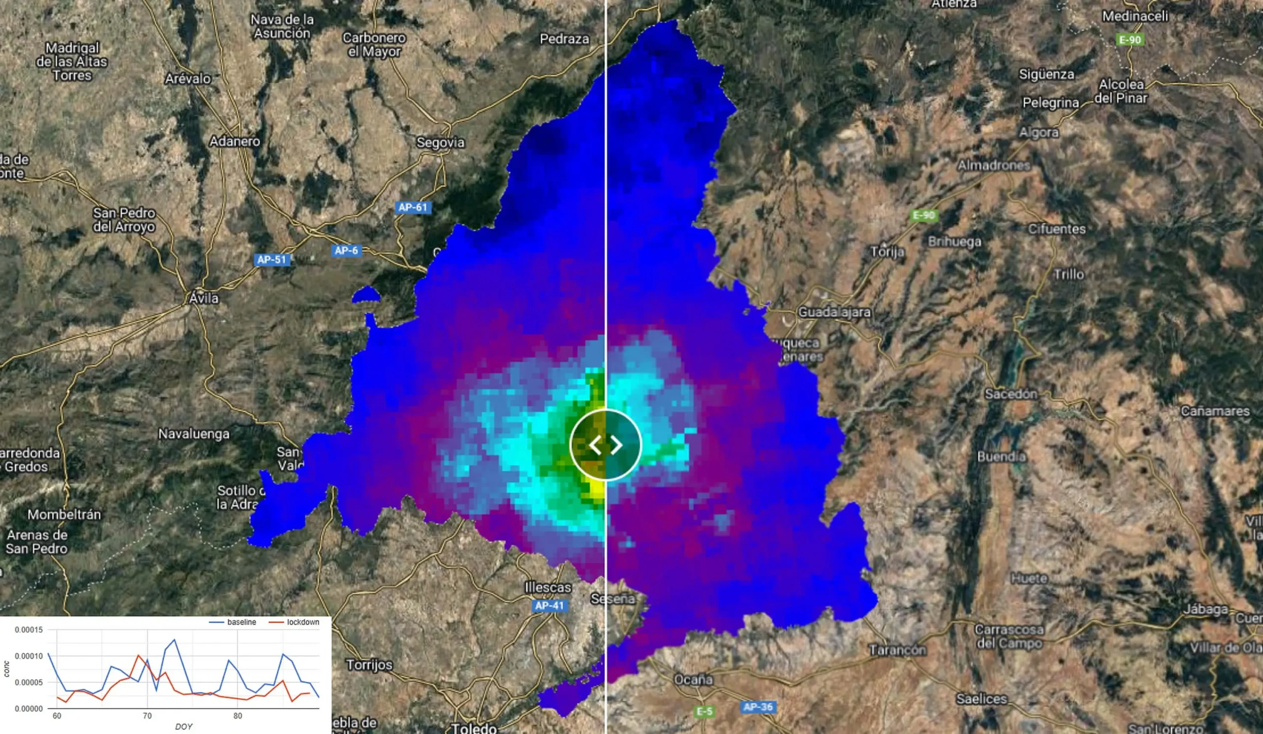
We understand that working with environmental data isn’t easy: fragmented information, complex regulations, and decisions that are difficult to justify.
What sets us apart is the combination of biology, geomatics, and environmental law within a single team.
We translate complex information into clear, practical, and defensible insights—avoiding “black box” approaches and supporting our clients throughout the entire process.
Environmental & geospatial consulting
What it is
A comprehensive service designed to analyse land, understand the environmental context, and develop realistic strategies.
What we do
Environmental and land assessment; integration of geospatial data; regulatory and requirements analysis; design of plans and strategies.
Outcome
A solid technical foundation to plan, justify decisions, and move forward with confidence.
Ecosystem services assessment
What it is
We identify and analyse the benefits that ecosystems provide to a given area or project.
What we do
Ecosystem mapping; identification of key services; definition of indicators; assessment of the impact of interventions.
Outcome
A clear understanding of the ecological value of the area to support more informed and defensible decisions.
Environmental assessments & strategic studies
What it is
We develop technical studies to assess risks, impacts, and opportunities.
What we do
Environmental impact assessment of projects; strategic studies; scenario analysis; support in planning processes.
Outcome
Clear, structured, and practical documentation to support decision-making (not just for compliance purposes).
Geospatial tools & platforms
What it is
Development of proprietary solutions to analyse, visualise, and manage land-related data.
What we do
Geospatial platforms; dashboards and indicators; analysis automation; data integration.
Outcome
Practical tools that streamline daily work and reduce reliance on manual processes.
How we work
1.
Understand the context
We analyse the project’s goals, constraints, and real needs.
2.
Structure the information
We collect, organise, and integrate geospatial data and existing documentation.
3.
Analyse and model
We apply technical analysis, modelling, and environmental criteria.
4.
Turn insights into decisions
We translate results into maps, indicators, and clear recommendations.
5.
Support
We work with you throughout the entire process to ensure the outcome is practical and actionable.
If you need to make land-use decisions, let’s talk
We help you better understand your context, structure your information, and turn it into clear, defensible decisions.